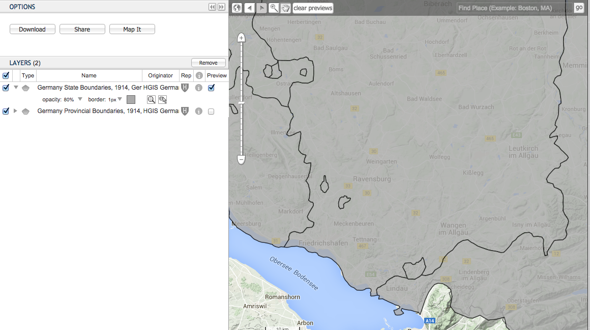
This question is related to the question I asked previously: Why was the shape of German states pre-WWII (especially Prussia) so complicated?
Most maps of pre-WWII are not detailed enough to see an exhaustive list of enclaves and exclaved territories. Only the major ones are visible.
For example, the municipality of Achberg (today in Baden-Würtemberg) was an isolated exclave of the Hohenzollernsche Lande, itself an exclave of Prussia.
However, since this exclave is so small it cannot be seen on maps containing the entire country. I suspect many municipalities were in similar cases.
Where can I find a complete, exhaustive list of all territorial irregularities of pre-WWII Germany?
