Halifax, Nova Scotia, was founded by the British in 1749; I am interested in the commercial trade during the French Revolutionary Wars, 1792 thru 1798, which is the period of the First Coalition.
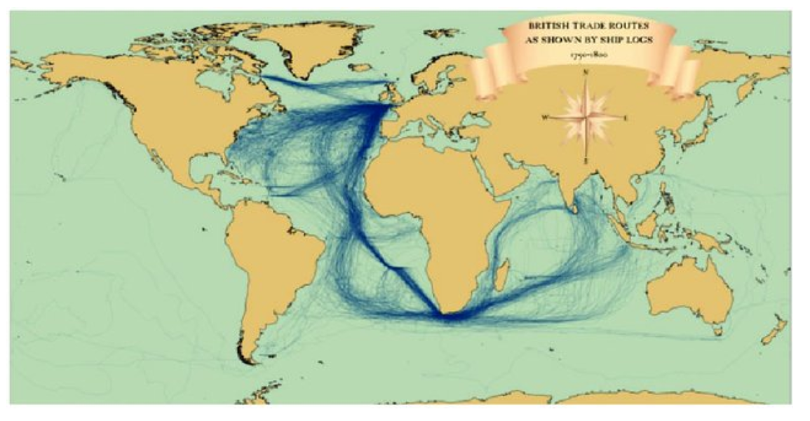
The source of the map is James Cheshire at Spatial Analysis, who took the log data from the CLIWOC project database. The database itself is no longer accessible. But see here. I was able to track down a copy of the database, but it requires MS Access 2000 to read the data, and I have not been able to find a tool to convert the data to the more recent MS Access format.
Map shows British trade routes as derived from ship's logs between 1750 and 1800.
I am interested in learning which ports, American and British, were active in the shipping trade, both to and from Halifax, during this time period.

