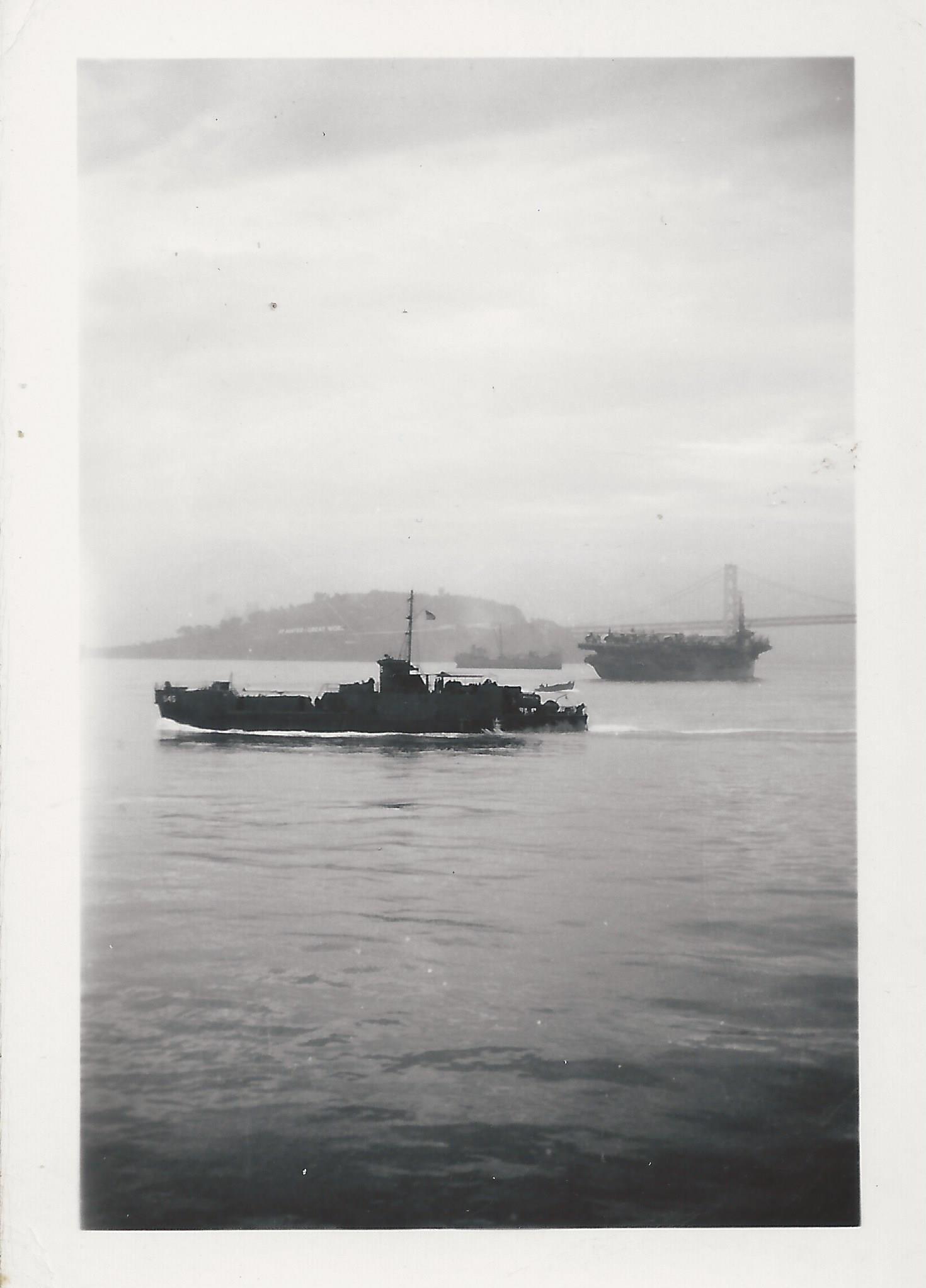
 Unidentified ship possibly numbered 545, aircraft carrier in background, maybe San Francisco or Washington State?
-
1LSM-545?– SemaphoreCommented Nov 3, 2014 at 15:04
-
2If it is LSM-545, that LSM never left the East Coast before being transferred to the Ven. navy. Here's another picture of LSM-545: navsource.org/archives/10/14/101454501.jpg The main trouble I'm having is the suspension bridge in the background. Other than the Mackinaw bridge, there just isn't one that size over here. The Bay Bridge is far too new.– CGCampbellCommented Nov 3, 2014 at 20:57
-
1Almost certainly not Washington: there were no suspension bridges across Puget Sound during World War II.– MarkCommented Nov 4, 2014 at 5:42
-
1Not asked in your question, but I believe the carrier in the background is a Casablanca-class escort carrier. Based on proximity with LSI(L)-545, it would likely be either the USS Thetis Bay (CVE-90) or the USS Petrof Bay (CVE-80), both of which were in and out of Alameda around that time.– CominternCommented Nov 5, 2014 at 0:52
-
2The bridge is the west span of the SF Bay Bridge, connecting SF (out of sight on the right) to Yerba Buena Island. Treasure Island is out of sight to the left. I'd guess the photo was taken from around the SF Ferry Building. The Bay Bridge was completed in 1936, a few months before the Golden Gate Bridge.– user8361Commented Nov 7, 2014 at 6:29
3 Answers
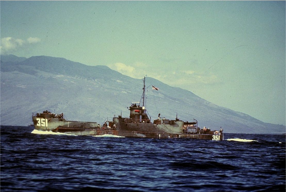
The stern is much too low to be an LSM. I'm 99% sure that it's LSI(L)-545, likely prior to departing for New Guinea in late summer of 1944. It was an LSI 341 class transport (class prototype below):

The bridge looks like the Golden Gate, but the only angle that would be right for that shot would make the island Alcatraz and I'm thinking that the buildings would be visible from that angle.
EDIT: After taking another scan around the San Francisco bay, it is possible that the photo was taken from the Mile Rocks lighthouse from roughly this direction, catching only the north tower of the bridge and zooming in on the departing ships:
UPDATE: I was totally wrong on the picture location. @AndyW correctly pointed out in his answer (and received my much deserved up vote) that this is the San Francisco Bay Bridge and Yerba Buena Island. Here's the same shot from Google Maps Street View.
-
Not terribly familiar with S. Fran. Bay, but this image makes it look like it could be from a similar location. Commented Nov 4, 2014 at 5:02
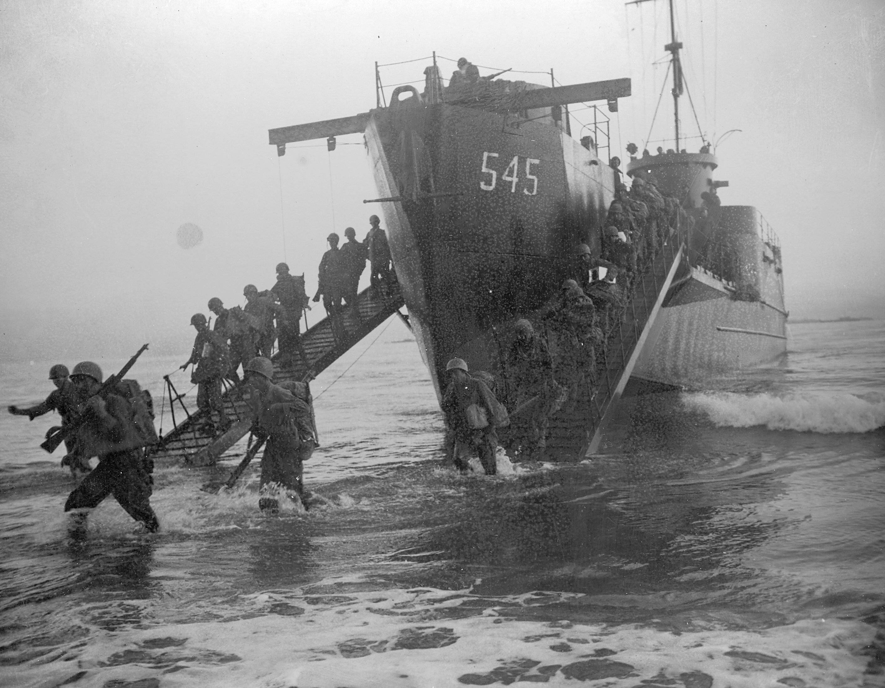
It is USS LSIL-545. It got two battle commendations. Here is that baby in action in New Guinea (what a hell hole):

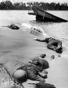
The New Guinea campaign was complete hell. During wartime censorship (what First Ammendment?) Roosevelt permitted photographs of dead soldiers for the first time from this campaign (notice landing craft in the background):

The front number looks like 545. For the location there is text on the island, something like:
WE XXXX GREAT WORK
hth, maybe someone remembers it.
Also found this guy asking the same:
https://www.flickr.com/photos/photolibrarian/8392716550/in/photostream/
-
1One and the same, that's my Flickr site.I try to identify all the photos that I post. Commented Nov 4, 2014 at 4:21