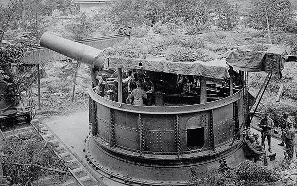
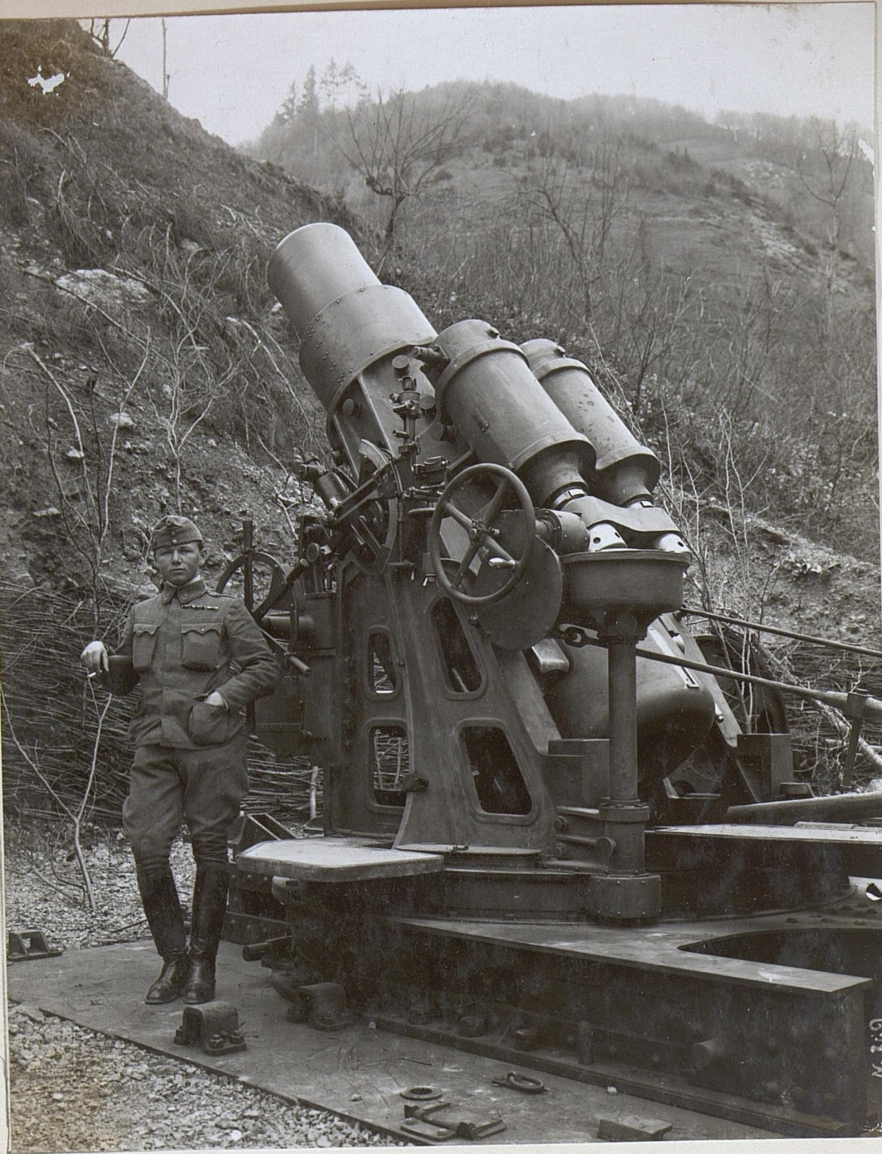
While reading Max Hastings' book "Catastrophe 1914: Europe Goes To War", I was surprised by the following paragraph (emphasis added):
In 1912-13 Germany had declined to support a tough Austrian line in the Balkans: key elements of its own military preparedness were still lacking – the Rhine bridge at Remagen, the bridge at Karwendel across which Austrian heavy artillery could move northwards, the Kiel canal, a new Army Bill. Now [in summer 1914] those links were complete: Moltke's machine was at perfect pitch.
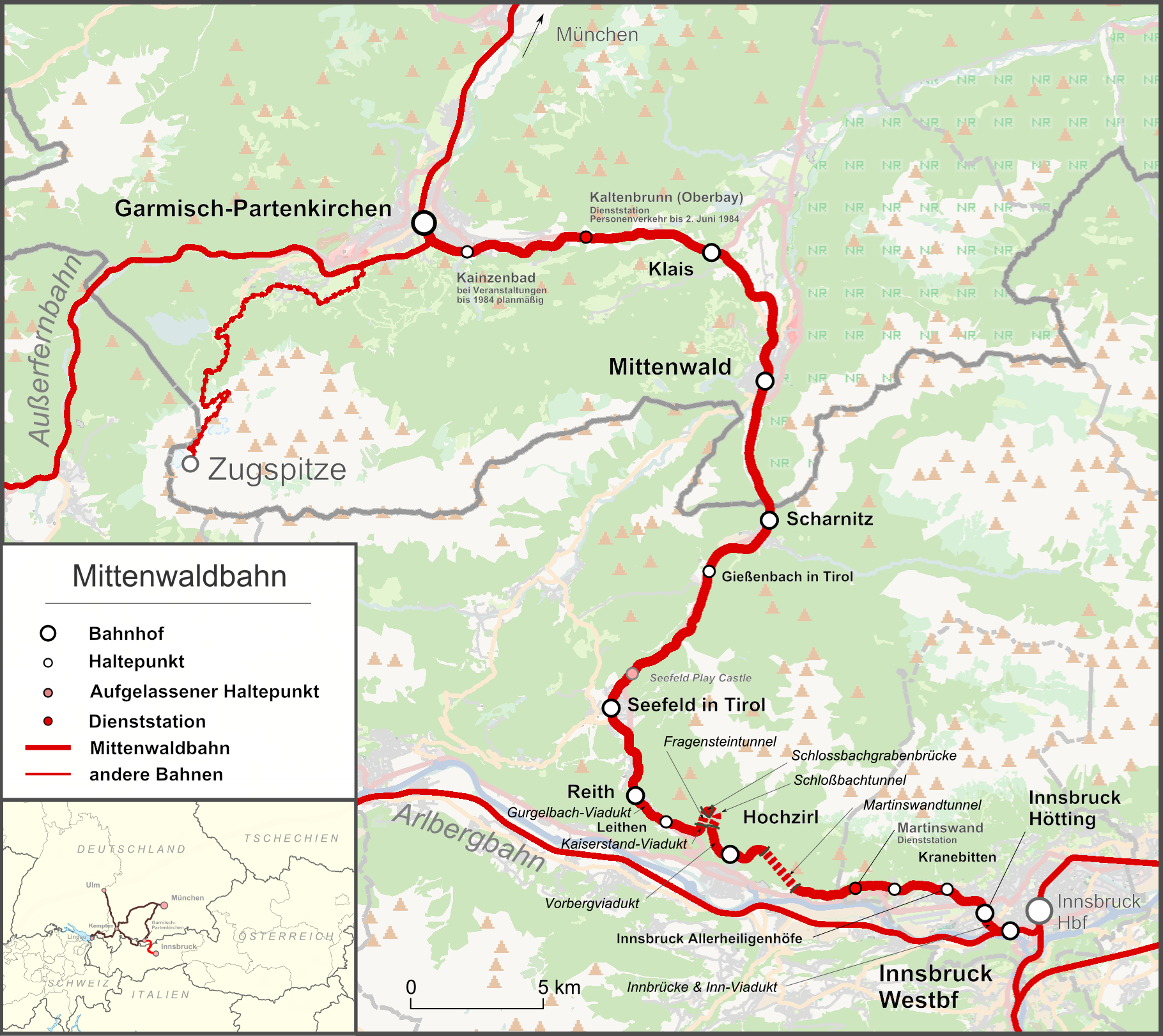
The reference to a "bridge at Karwendel" puzzles me. "Karwendel" is the name of a mountain range, an outlier of the Alps, along the Austro-German border. The only significant transport link crossing it is the Karwendelbahn railway line, which goes from Innsbruck in Austria to Garmisch--Partenkirchen in Germany over the 900m high Scharnitz pass. This railway does have several impressive bridges, so I guess Hastings must be referring to that. However, I can't quite fathom how this rather obscure little stretch of railway was important enough to play a role in Germany's decision for war or peace.
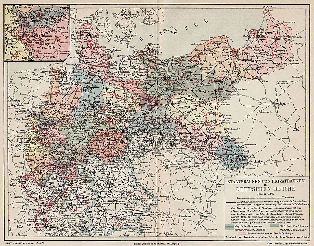
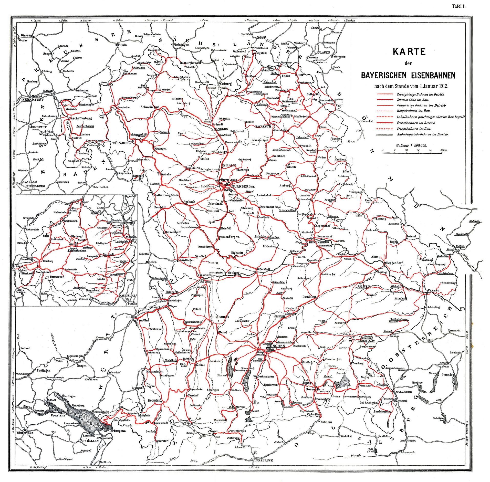
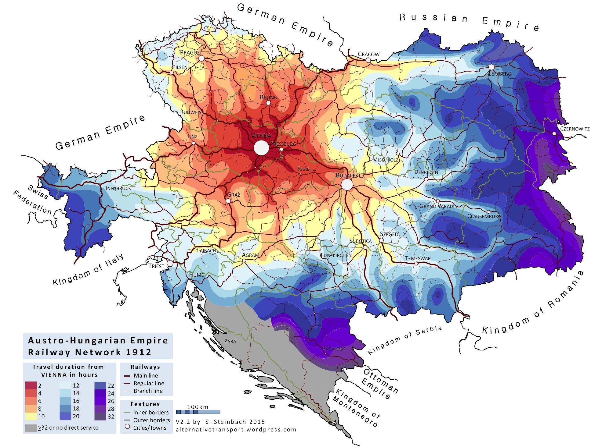
The line was built in 1912, so the chronology fits. However, the geograpy doesn't: the area of Austria around Innsbruck (the Tirol) is rugged mountain country, great for a ski holiday but not an obvious place for an armaments factory. I gather that the main industrial regions of pre-war Austria-Hungary were in eastern Austria and Bohemia (in the modern Czech Rep). Given the way Austria and Bohemia wrap around the south-eastern corner of Germany, both of these areas are actually easier to access from the German terminus of the Karwendelbahn than the Austrian.
So, why was the Karwendelbahn strategically important, and why would it make sense for Austrian supplies of war materials to Germany to be moved northwards along it?
