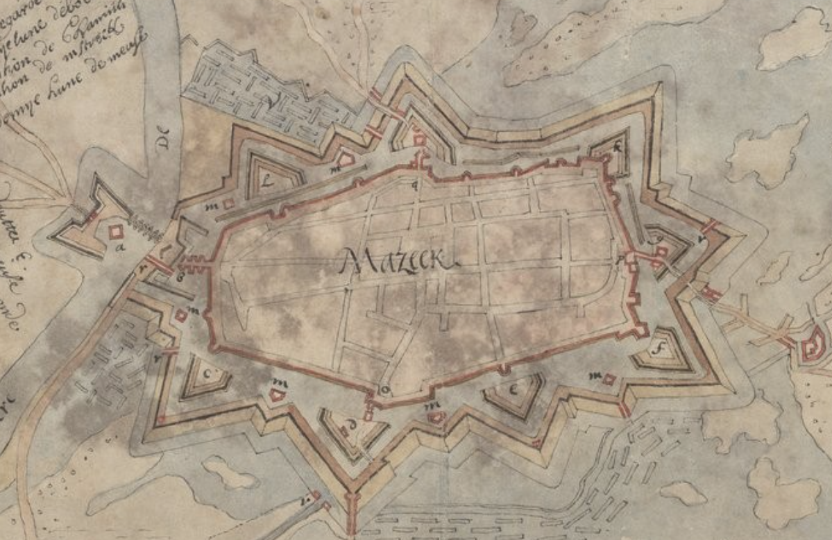
Using this 1675 map of Maaseik, Belgium, for example, there are hornworks, bastions, and ravelins at specific locations around the outer wall of the city. What determines why certain structures are built at those sites. Is it simply terrain, or are their other factors that determine the layout of the features.
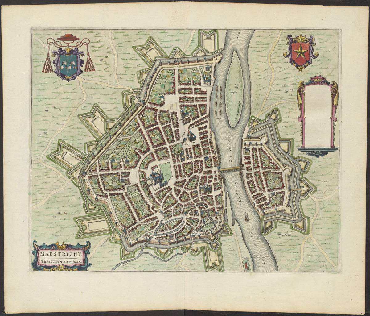
The map of Maastricht, from twenty years earlier, shows the placement of the elements seeming more random.
Toonneel der steden van de Vereenighde Nederlanden : met hare beschrijvingen
Scene of the cities of the United Netherlands: with their description Imprint [Amsterdam] : Joan Blaeu, Year 1651

