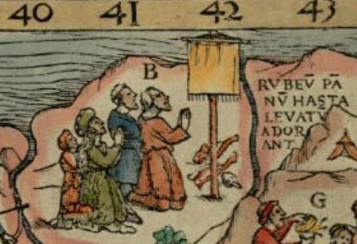
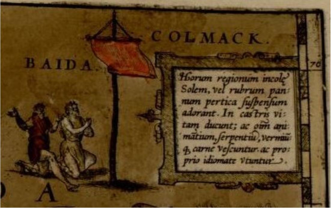
While doing some research into maps over the last month or so, I came across an interesting item which I found recurring on two different sources. I first encountered this scene on a copy of the Abraham Ortelius Atlas, the 1570 Theatrum orbis terrarum. From page showing the map labeled Russia at the Library of Congress site:
It looked like a curious scene, and I thought to look into it later. When looking at an different map, the earlier Carta Marina of 1539 by Olaus Magnus, I was surprised to find a very similar scene, this from Bell Library:

Interestingly enough, the later Ortelius map seemed to have more information in its legend than the earlier. As Latin was not part of my education, I attempted to feed the information on the legends into Google translate, but the machine translation was confusing, and did not really clear things up for me.
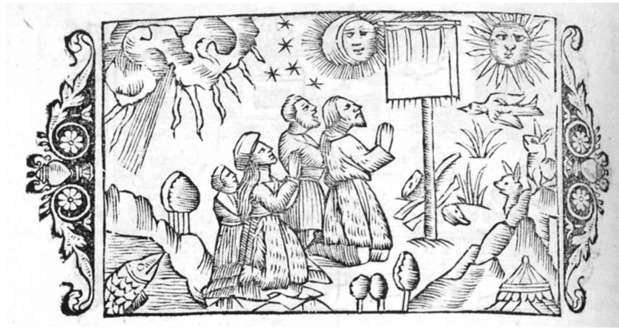
Further research found another image yet, at the same UofM Bell Library site, also from a Olaus Magnus publication, The Historia pg 98, showing another slightly different version of the same scene:

So, what is this scene representing? I understand we can't take everything we find on these maps as fact (I do enjoy the sea monsters, unicorns and dragons however), but the placement of this scene on two different maps, both in northern regions, makes me wonder if it isn't a representation of some cultural behavior specific to a group, or perhaps a historical event.
What is the story here?
Just wanted to add a link for some more information about the cartographer Olaus Magnus in the History of Cartography, Vol 3, chptr 60 • Scandinavian Renaissance Cartography which has a discussion of Magnus and his Carta Marina and Historia. A section there addresses a concern I had about whether or not his maps vignettes also might have been copied from an earlier source (emphasis mine):
A complementary text, Historia de gentibvs septentrionalibvs, published in Rome in 1555, contains a small modified version of the map. As with the Carta marina, the Historia offers a splendid mixture of fact and fancy— a veritable hyperborean apotheosis. The large number of vignettes are in the same style as those that decorate the original map. They are the work of Olaus Magnus himself: he was no mean artist. Indeed, the Swedish historian Hjalmar Grape juxtaposes some of his woodcuts with those of Hans Holbein, whose style possibly influenced Olaus Magnus. The illustrations belong to the bold, vigorous, and occasionally naive artistry of the north. The pictorial content seems to have been designed to show the Catholic world of the south what had been lost through the Reformation in the north. At the same time, Olaus Magnus remained a Nordic patriot who was anxious to replace the concept of a barbaric north with a more civilized image.
